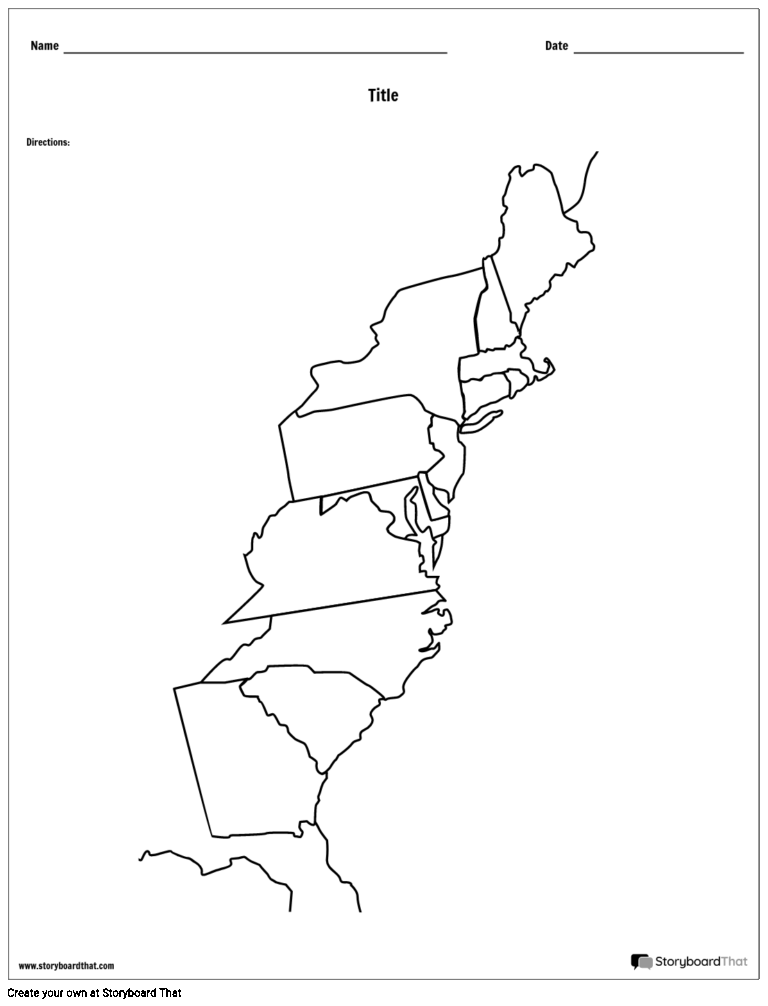
Latitude And Longitude Map Printable
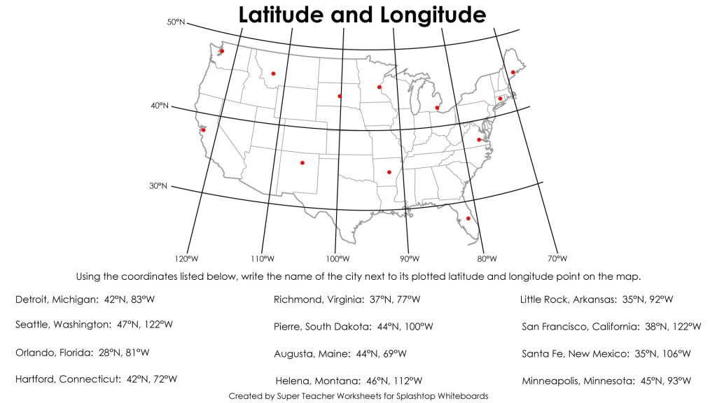
Latitude and longitude are geographical coordinates used to specify the location of a point on the Earth’s surface. Latitude measures how far north or south a point is from the equator, while longitude measures how far east or west a point is from the Prime Meridian. These coordinates are crucial for navigation, mapping, and many … Read more